Photo Illustration by The Daily Beast / Photo by NOAA / STAR
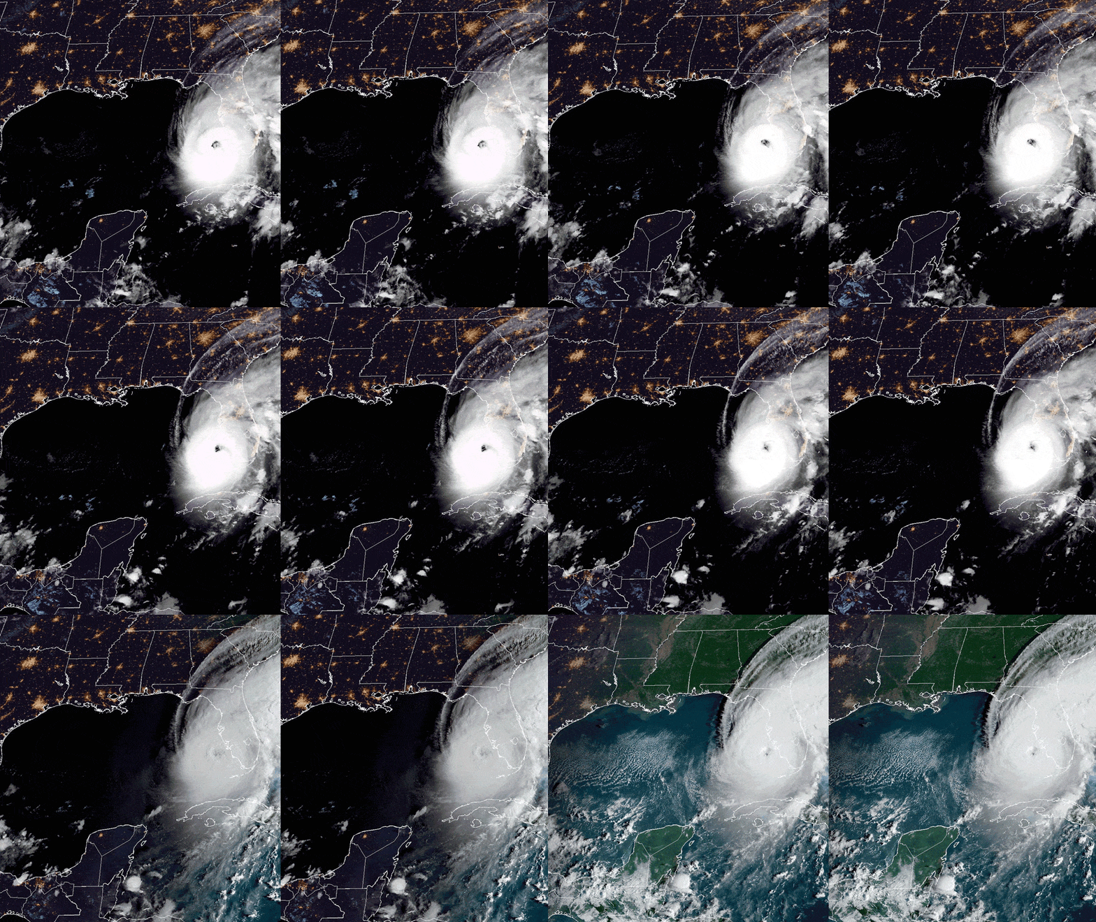
Meteorologists’ biggest fear came true Wednesday morning, when Hurricane Ian rapidly intensified into a Category 4 hurricane with sustained winds of 155 mph—just two mph from being a Category 5 storm, the highest categorization.
Winds at that speed are the equivalent of an EF3 tornado, reported Meteorologist Matthew Cappucci, and are expected to span at least 50 miles as Ian—the strongest storm of the season and one of the most powerful in history—wallops Florida on Wednesday.
While the whipping winds are a serious threat, the National Hurricane Center says that “catastrophic” storm surge of 18 feet—enough to inundate some small homes completely—could also be deadly between Sarasota and Fort Myers, where Ian is set to make landfall at lunchtime.

